
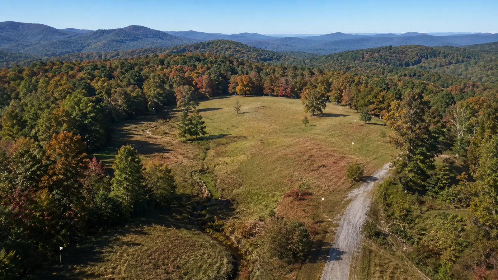
A North Georgia parcel can look perfect from the road and still fail the buyer’s intended use. Access, terrain, utilities, zoning, soil, water, title matters, and building costs all need answers before “great views” becomes a workable plan.
Land due diligence is a feasibility project. Start with the use you want, then test the parcel against it while your contract rights and deadlines are still active.
1. Write a one-page use plan before evaluating the parcel
Define the primary goal: a full-time home, weekend cabin, small farm, workshop, rental, future retirement site, timber holding, or long-term land investment. Add the rough building size, number of vehicles, animals, outbuildings, internet needs, and timeline.
This is not a final design. It is a filter. A parcel that works for a small cabin may not support a larger home, pasture, accessory structure, or frequent guest access.
2. Verify legal and practical access
Seeing a driveway or gravel road does not establish the legal right to use it. Ask a Georgia real estate attorney and title professional to review recorded access, easements, maintenance obligations, restrictions, and any shared-road agreement.
Then test practical access. Consider road width, surface, grade, drainage, turning space, delivery vehicles, emergency access, and the cost of year-round maintenance. Do not assume a future driveway can go wherever the terrain looks easiest.
3. Order the right survey for the decision
Tax maps and online parcel viewers are useful research tools, but they are not a substitute for a property-specific survey. Discuss boundaries, acreage, encroachments, easements, roads, utilities, and proposed improvements with a Georgia-licensed surveyor.
If a homesite, driveway, creek crossing, fence, or subdivision plan matters to your purchase, make sure the survey scope supports that question.
4. Confirm zoning, overlays, and recorded restrictions
Ask the governing county or city how the parcel is currently zoned and what approvals may apply to the intended use. Also investigate overlays, minimum setbacks, road frontage, accessory structures, animals, home occupations, short-term rental rules, and subdivision requirements as relevant.
Government zoning and private deed restrictions are separate layers. An allowed use under zoning may still be limited by recorded covenants, easements, or other title documents.
5. Test the homesite, driveway, slope, and drainage together
A buildable-looking clearing does not answer how water moves, how much grading is required, or whether the driveway can reach it reasonably. Walk the parcel with the right professionals and study topography, exposed rock, erosion, drainage paths, retaining needs, and disturbed areas.
Ask a builder or civil professional for site-specific input before treating a low land price as a low total project cost. Site work can change the feasibility equation quickly.
6. Investigate flood, stream, and buffer questions
Review the current FEMA flood information and ask the applicable local authority about floodplain, stream, wetland, and buffer requirements. Map-based screening is a starting point, not a final field determination.
If water features or low areas affect the intended homesite, road, crossing, or insurance plan, involve qualified environmental, engineering, surveying, and insurance professionals as appropriate.
7. Price utilities from the source to the homesite
“Utilities available” can mean a service exists somewhere nearby, not that connection is simple or inexpensive. Contact the actual providers about electric service, water, natural gas, internet, and any extension, easement, meter, trenching, or capacity requirements.
For a private well or onsite wastewater system, verify the current county and state process, site suitability, setbacks, and permit path. Keep those areas on the same concept plan as the home, driveway, outbuildings, and future improvements.
8. Read the title commitment and exceptions early
Have the title work reviewed while there is time to ask questions. Pay attention to access, utility easements, mineral or timber interests, restrictions, shared facilities, judgments, and other exceptions that may affect use or transfer.
Legal interpretation belongs with a Georgia real estate attorney. The goal is to understand the rights you are buying, not only the acreage shown in marketing.
9. Build a realistic total project budget
Include more than the purchase price. Depending on the property, planning costs may include surveying, legal review, soil or environmental work, driveway construction, clearing, grading, drainage, retaining, utility extensions, well and wastewater systems, permits, design, financing, and contingencies.
Use written local estimates where possible. National averages rarely capture a specific North Georgia slope, road, rock condition, or utility run.
10. Put every answer on the due-diligence calendar
Assign an owner and deadline to each question. Surveyors, county staff, contractors, soil professionals, utility providers, attorneys, and lenders may all work on different schedules.
Discuss contract dates and rights promptly with your real estate professional and attorney. An unanswered feasibility question is not the same thing as a favorable answer.
Bring the parcel and the plan into the same conversation
Carol can help you define the real estate questions, coordinate local information, and keep the land-buying timeline visible while qualified professionals evaluate the technical and legal details.
Looking for land in Cherokee County, Cobb County, or broader North Georgia? Schedule a consultation with Carol to discuss your intended use and build a focused property search.
Helpful official resources
- FEMA Flood Map Service Center
- USDA Natural Resources Conservation Service: Web Soil Survey
- Georgia Department of Community Affairs: planning tools
This article is general real estate education, not legal, engineering, environmental, surveying, construction, tax, lending, or land-planning advice.